2027 Season Bookings Now Open!
Scenic Waterway

Stikine River

Nature • Scenic • Vistas
Scenic Waterway Overview

A Glimpse of the Attraction

The wildest river in North America. Flowing hundreds of miles through towering glaciated canyons from British Columbia into the Pacific, the Stikine River Delta is an epic paradise for jetboating, wildlife viewing, and spring bird migrations.

Perfect For...

• Epic jetboat river expeditions • World-class birdwatching migrations • High-energy wilderness travelers

Not the Best Fit For...

• Self-guided walking tourists • Severe motion sensitive guests • Strict non-boating itineraries

Top Highlights

  • North America’s Wildest River: 330 miles of untamed, free-flowing transboundary water carving through the Coast Range.
  • 29,000-Acre Tidal Delta: Massive Pacific Flyway wetland hosting millions of migratory shorebirds and eagles.
  • Historic Gold Rush Artery: Historic route traveled by Hudson’s Bay fur traders and 19th-century gold rush paddleboats.
  • Towering Glacial Canyons: Flanked by sheer granite walls, hanging icefields, and geothermal hot spring tributaries.

Deep Dive

The Attraction

The Stikine River—known to the Tlingit as the "Great River"—is one of the fastest-flowing navigable rivers in North America, cutting a dramatic 330-mile path through the Coast Mountains from the interior plateaus of British Columbia to the ocean near Wrangell. The Stikine Delta encompasses over 29,000 acres of dynamic tidal flats, marshes, and braided channels.

This wetland serves as a critical stopover on the Pacific Flyway, hosting the largest springtime concentration of bald eagles in North America, alongside millions of migrating shorebirds. Upriver, the landscape transitions into sheer granite cliffs, cascading hanging waterfalls, massive glaciers, and thermal hot springs, making it one of Alaska's premier wild river corridors.

Historically, the Stikine was the primary trade artery between coastal Tlingits and Athabascan tribes of the interior, and later carried thousands of eager prospectors into the Cassiar gold fields aboard shallow-draft sternwheelers.

A jet boat excursion up the Stikine takes travelers past iconic landmarks like Popof Glacier, the dramatic walls of the Stikine Canyon, and hidden sloughs where moose, brown bears, and harbor seals forage in untouched wilderness.

Location

How Do I Get Here?

Distance
(From Cruise Ship Dock)
6 Mi
Get There Via
Float Plane
Boat

Located 5 miles north of Wrangell by water across the Sumner and Stikine Straits. Accessible exclusively by boat, high-speed jet boat charter, or floatplane departing from Wrangell’s harbors and seaplane base.

Trip Essentials

Logistics & Requirements

Local Insider Note

As a lifelong travel enthusiast and former wilderness guide with years spent exploring the remote corners of Wrangell and Southeast Alaska, I’ve put this guide together to give you true local insider insight. Southeast Alaska’s terrain and maritime weather are dynamic, and having the right expectations makes all the difference. Whether you're exploring on your own or joining us on a tour, these logistics and requirements are designed to help you pack right, navigate the elements safely, and make the absolute most of your time on the island.

Jonas Crabtree

– Your Guide in Wrangell

Important Things to Know

The Stikine Delta is a complex maze of shifting gravel bars, submerged snags, and heavy currents; independent boating should only be attempted by experienced navigators with local river knowledge. Dress in warm, multi-layered gear as wind on the open river is significantly cooler than in town.

Best Timing & Season

Accessible May through September for boat excursions. Late April through early May features the world-famous Wrangell Bird Festival, celebrating the massive concentration of bald eagles and shorebirds feeding on eulachon runs. River navigation requires experienced local boat operators knowledgeable in shifting sandbars and tidal stages at the river mouth.

What to Bring

Waterproof rain jacket and wind-resistant pants, warm fleece layers, binoculars, telephoto camera gear, and sunglasses with polarized lenses.

Fees & Permits

No general entry fees for navigating the river corridor. US Forest Service permits are required for commercial operators and for reserving public-use wilderness cabins located along the riverbanks.

Accessibility & Difficulty

Boat-based marine and river adventure. Requires stepping on and off tour boats onto docks, river flats, or gravel bars. Interior boat seating is comfortable, but physical boarding agility is required.
Clear Answers

Frequently Asked Questions

Find Your Stride

More Local Favorites You Might Like

Wildlife Viewing

Anan Wildlife Observatory

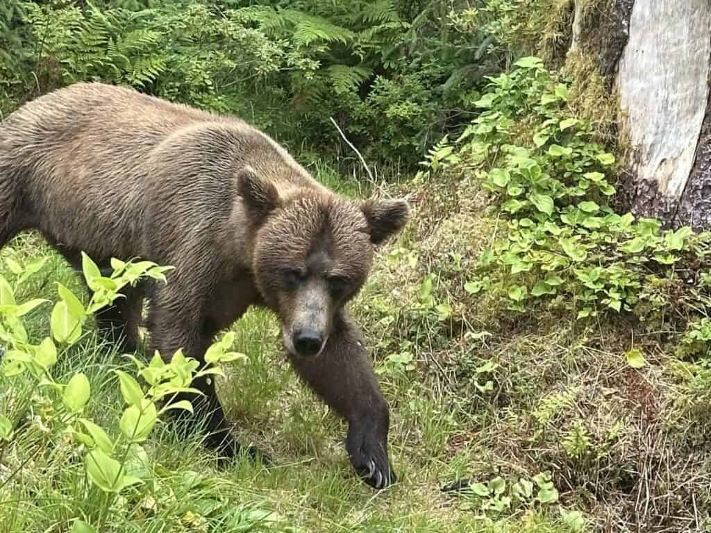
Brown bear walking along the forest edge at Anan Wildlife Observatory near Wrangell, Alaska.
Distance
From Dock
35 Mi
Get
There by
Bears • Nature • Scenic
One of Alaska’s premier wildlife viewing destinations. Stand on an elevated wooden platform just feet above a roaring wilderness waterfall where brown and black bears gather to feast on migrating pink salmon.
View Map
Learn More
Hot Springs

Chief Shakes Hot Springs

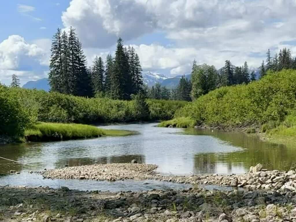
Slough leading to Chief Shakes Hot Springs on the Stikine River near Wrangell, Alaska.
Distance
From Dock
30 Mi
Get
There by
Forest • Peaceful • Relaxing
A natural geothermal oasis tucked deep inside the Stikine River wilderness. Soak in mineral hot spring waters sheltered by timber soaking tubs amidst lush old-growth rainforest.
View Map
Learn More
Cultural Landmark

Chief Shakes Island

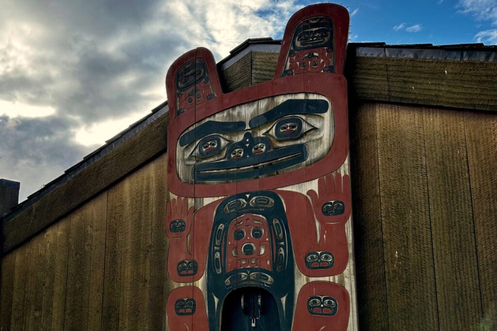
Front of Chief Shakes House in Wrangell, Alaska, with the carved house post displayed against the sky.
Distance
From Dock
.6 Mi
Get
There by
Culture • History • Totems
Step onto a historic islet in the heart of Wrangell Harbor to experience the living heritage of the Naanya.aayí clan. Chief Shakes Island preserves an authentic hand-adzed Tlingit tribal house surrounded by towering totem poles overlooking working docks.
View Map
Learn More
Glacier

LeConte Glacier

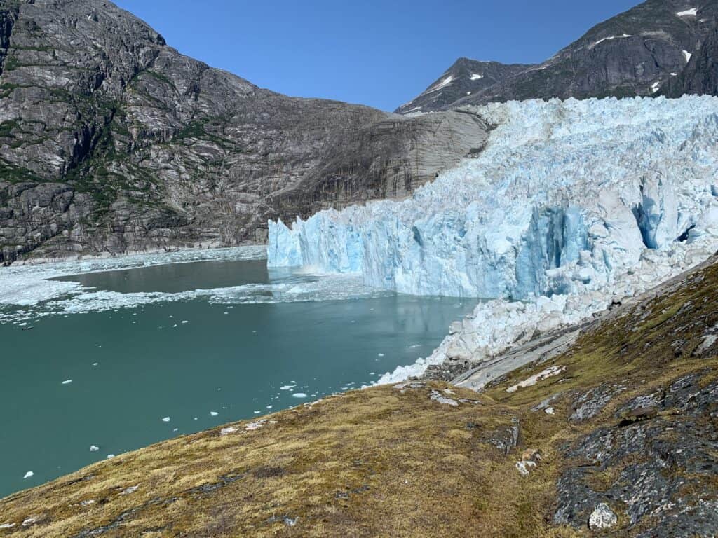
LeConte Glacier near Wrangell, Alaska, with fresh ice from a recent calving event floating in the fjord.
Distance
From Dock
29 Mi
Get
There by
Nature • Scenic • Vistas
The southernmost active tidewater glacier in North America. Journey through a spectacular, iceberg-filled fjord to witness towering blue ice cliffs actively calving into the deep waters of LeConte Bay.
View Map
Learn More
Popular Trail

Long Lake Trail

Visitors walking on a wooden boardwalk on the Long Lake trail through Southeast Alaska rainforest
Distance
From Dock
28 Mi
Get
There by
Forest • Relaxing • Scenic
A true backcountry adventure on Wrangell Island’s southern road system. Climb up through hemlock slopes onto a high-elevation boardwalk that opens to a pristine wilderness lake ringed by granite ridges.
View Map
Learn More
Popular Trail

Mt. Dewey Trail

Two hikers walking up the forested Mt. Dewey Trail toward the overlook in Wrangell, Alaska.
Distance
From Dock
.4 Mi
Get
There by
Nature • Scenic • Vistas
Ascend through temperate rainforest along stepped timber boardwalks to a high observation platform overlooking Wrangell Harbor and Zimovia Strait. A rewarding, short-climb summit hike made famous by naturalist John Muir in 1879.
View Map
Explore Tours
Learn More
Recreation Area

Muskeg Meadows Golf Course

Scenic view from Muskeg Meadows Golf Course overlooking Eastern Passage and Wrangell Mountain in Wrangell, Alaska.
Distance
From Dock
2.5 Mi
Get
There by
Meadows • Recreation • Scenic
Experience one of the most uniquely Alaskan golf courses on earth—a 9-hole USGA-rated course carved right out of temperate rainforest and peat muskeg, complete with a local raven rule.
View Map
Learn More
Popular Trail

Nemo Saltwater Access Trail

View from the Turn Island Recreation Campsite at the end of the Nemo Saltwater Access Trail on Wrangell Island, Alaska.
Distance
From Dock
14 Mi
Get
There by
Nature • Peaceful • Scenic
Hike down through towering spruce and cedar forest to reach a secluded saltwater beach along Zimovia Strait. This hidden gem offers beachcombing, scenic picnic spots, and tranquil water views south of town.
View Map
Learn More
Historic Landmark

Petroglyph Beach Historic Park

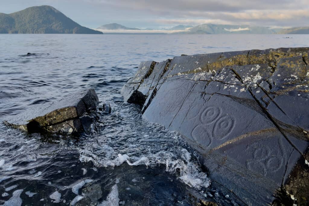
Ancient Tlingit petroglyphs carved into beach rocks in Wrangell, Alaska
Distance
From Dock
0.8 Mi
Get
There by
Culture • History • Scenic
Walk among ancient rock art pecked into dark metamorphic slate right at the edge of the Pacific Ocean. Located less than a mile from downtown Wrangell, this park offers a rare look at prehistoric Indigenous craftsmanship, beachcombing, and panoramic views across the Stikine Strait.
View Map
Explore Tours
Learn More
Popular Trail

Rainbow Falls Trail

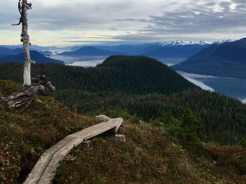
Panoramic view from the Wrangell Falls trail overlooking Eastern Passage and the Stikine River Delta near Wrangell, Alaska.
Distance
From Dock
4.7 Mi
Get
There by
Nature • Scenic • Waterfall
Journey into deep temperate rainforest along a cascading creek that culminates in a dramatic waterfall observation deck. This signature Wrangell day hike delivers towering old-growth trees, lush ferns, and sweeping coastal views.
View Map
Learn More